Route planners you deserve some more recognition

Disclaimer: Links on this page pointing to Amazon, eBay and other sites may include affiliate code. If you click them and make a purchase, we may earn a small commission.

m3dragon

FRF Addict
Joined
Nov 28, 2012
Posts
1,308
Reaction score
1,370
Location
Orangevale
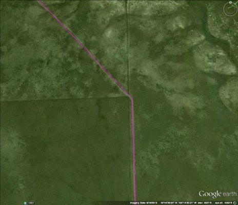
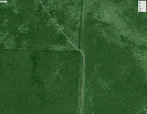
I find Google and Viewranger and swapping Satellite maps on the fly helps get mapping done faster. This way you have all the SAT images at your finger tips. Only issue and why we all know to pre-run is you can't always see those darn gates. Give those a try and hopefully they help cut the time you need to make the routes.
 

KaiserM715

Kaiser Söze
Joined
Aug 5, 2010
Posts
8,571
Reaction score
3,116
Location
Houston, TX
I have learnt several things:

* US Forest Service MVUM maps suck (B&W with huge tables of date restrictions plastered over the top)
While MVUM maps do indeed suck, make sure that the ones that you have are current. Sometimes they change yearly, depending on what trails have opened or closed (mainly closed - get active in keeping them open!!). The last thing you want is to be on a closed trail and to get stopped by the Forest Service.

Take a look here to see what kind of issues go along with closing trails down and how often things change:
Recreational Land Use Issues - FORD RAPTOR FORUM - Ford SVT Raptor Forums - Ford Raptor
 
OP
OP
t_j

t_j

FRF Addict
Joined
Sep 10, 2013
Posts
2,753
Reaction score
2,310
Location
Chicago, IL
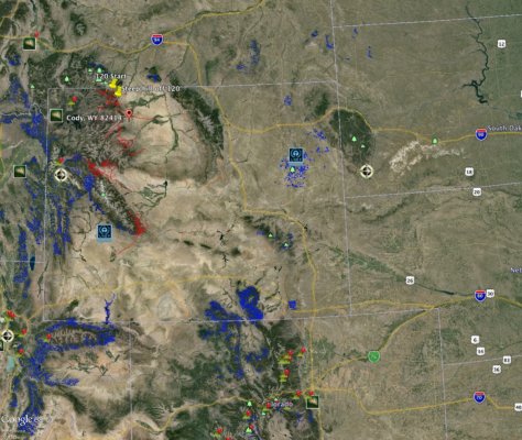
Ok I just found something new and awesome. Google Earth Pro can import GIS files, and the forest service publishes publishes this data for us to consume.

Per forest example: Shoshone National Forest - Geospatial Data

Country wide dataset: USDA Forest Service FSGeodata Clearinghouse - Download National Datasets


If you are using the country wide dataset download the shape file, you will also need to zoom to the area you are interested in, you probably will not be able to open the whole file.

* Unzip the download
* Open google earth, select file, import and select the .shp file you extracted.
* When using the country wide set and prompted select only import items in the current view.
* When asked to apply a style select yes, for name field select name from the drop down, and set your color on the color tab.
* If you want to save the style you can, I dont.
* Enjoy your new route planning power.

Google Earth Outreach
 
Top